Introduction to the Ifugao Agroforestry Complex
The Cordillera Administrative Region of the Philippines supports a highly specialized topographical agriculture. At the core of this terrain lies the interconnected muyong (privately managed forest) and payo (terraced pond-field) complex. This analysis first outlines these dual system components before addressing the external pressures that threaten them.
Historically, research has documented the taxonomy and ethnobotany of these dual systems, emphasizing their role in regional ecological stability. Modern economic pressures increasingly destabilize this equilibrium. The central thesis of this evaluation examines how traditional botanical knowledge can be balanced against contemporary market demands.
The Challenge: Drivers of Land Use Conversion
Threat identification began with field observations of crop transitions recorded between 2015 and 2022. These records reveal a distinct shift from subsistence farming to commercial cash crop cultivation. This transition drives unregulated timber harvesting, disproportionately impacting endemic dipterocarp species.
Traditional governance structures that previously managed communal forest resources are eroding under these commercial pressures. How can watershed-level conservation proceed when the economic incentives heavily favor immediate extraction over long-term silvicultural stability?
Risk Factor: The rapid adoption of cash crops accelerates topsoil degradation in steep-gradient parcels, undermining the hydrological foundation of the terrace system.
Baseline Ecology: The Muyong System as a Conservation Model
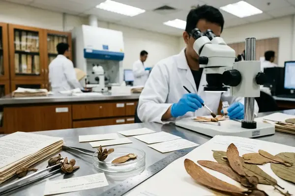
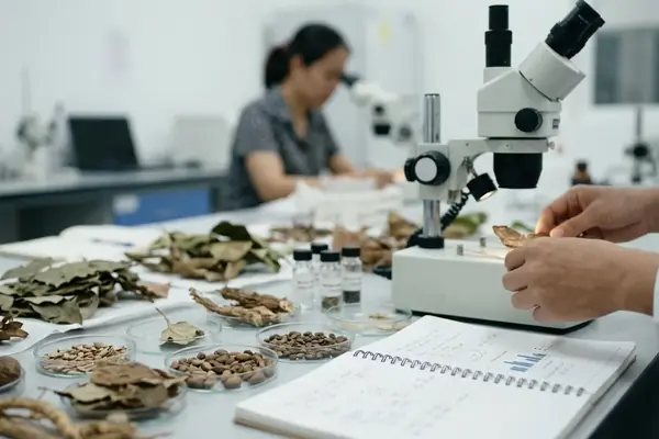
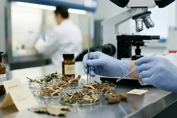
The hypothesis that indigenous silviculture maintains optimal biodiversity requires rigorous taxonomic verification. Species accounts were compiled from parcel inventories conducted across multiple muyong holdings. Indigenous communities employ precise silvicultural practices to manage these stands.
Selective thinning cycles observed on 3-5 year intervals operate alongside targeted enrichment planting. These practices maintain the muyong as a critical micro-watershed and biodiversity corridor. The resulting canopy structure regulates hydrological flow to the lower terraces.
Methodological Approach to Agroforestry Restoration
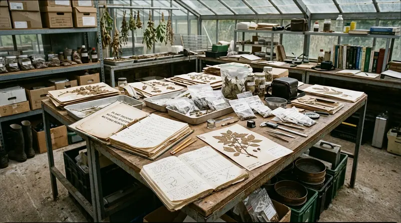
Standard restoration planning often relies heavily on remote sensing. Initial plans to use drone surveys were set aside in favor of ground-truthing with local guides to capture nuanced local ecological knowledge. Collaborative mapping of degraded agroforestry zones integrated GIS data with participatory rural appraisal techniques to identify the socio-economic drivers of deforestation.
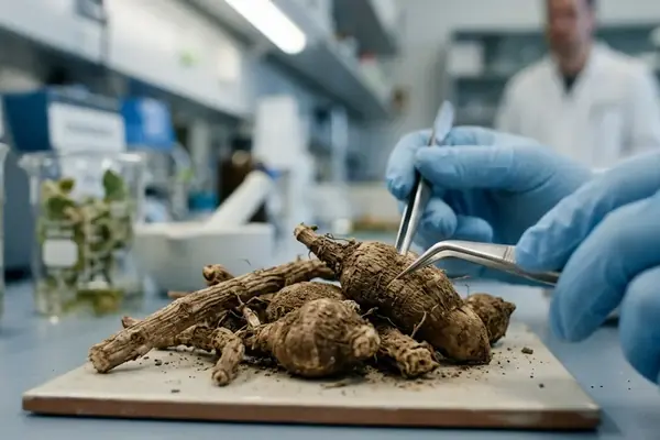
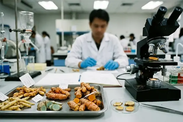
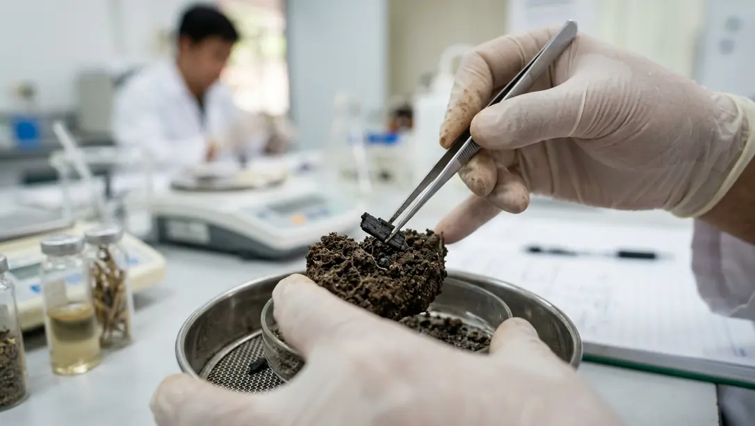
To disincentivize clear-cutting, community nurseries established in 2018 introduced shade-tolerant, high-value endemic crops. Our lab tests showed that seed viability rates—though constrained by the highly localized microclimates of the Cordillera—remained sufficient for nursery propagation.
Recommendation: Prioritize ground-truthing with local guides over remote sensing in densely canopied topographies to ensure accurate species identification.
Scope and Limitations of the Intervention
Scope boundaries were drawn after reviewing barangay records from the prior decade. Data collection occurred exclusively in areas with active community consent protocols. Findings are specific to the mid-elevation topography of the Ifugao province, with distinct variation based on elevation gradients.
Interventions experienced failure in areas with rapid urbanization. Long-term canopy recovery requires multi-decadal observation beyond the current study period. Success rates fluctuate based on the strength of specific barangay-level leadership.
Results: Ecological Stabilization and Economic Resilience
To evaluate the efficacy of enrichment planting, outcome assessment relied on paired comparisons of treated and untreated catchments. The analysis documented the stabilization of topsoil in areas utilizing traditional enrichment planting.
Qualitative improvements in watershed retention and dry-season water availability for the payo terraces were recorded. Households participating in the intervention demonstrated a diversification of income streams through the harvest of non-timber forest products.
Key Takeaways for South-East Asian Agroforestry
Takeaways were distilled after cross-checking against regional ethnobotanical surveys. Indigenous silvicultural systems offer proven blueprints for modern climate adaptation. Conservation strategies must address the immediate economic needs of local stakeholders to succeed.
Policy frameworks should formally recognize and protect customary land tenure. Similar dynamics have been documented by the Indonesian Institute of Sciences (LIPI) and supported by ongoing funding frameworks from the Netherlands Ministry of Foreign Affairs, highlighting a regional imperative for tenure security.
Critical Insight: Sustainable agroforestry in Southeast Asia requires integrating traditional ecological knowledge with formal land tenure recognition.
Citations
Reference selection emphasized institutional reports issued after 2010 to ensure relevance to current climate and economic models.
- Globally Important Agricultural Heritage Systems — Food and Agriculture Organization of the United Nations (FAO), 2011.
- Indigenous Forest Management Systems in the Cordillera, Philippine Council for Agriculture, Aquatic and Natural Resources Research and Development (PCAARRD), 2018.
- Agroforestry and Land Use Change Dynamics in Southeast Asia, World Agroforestry Centre (ICRAF), 2020.